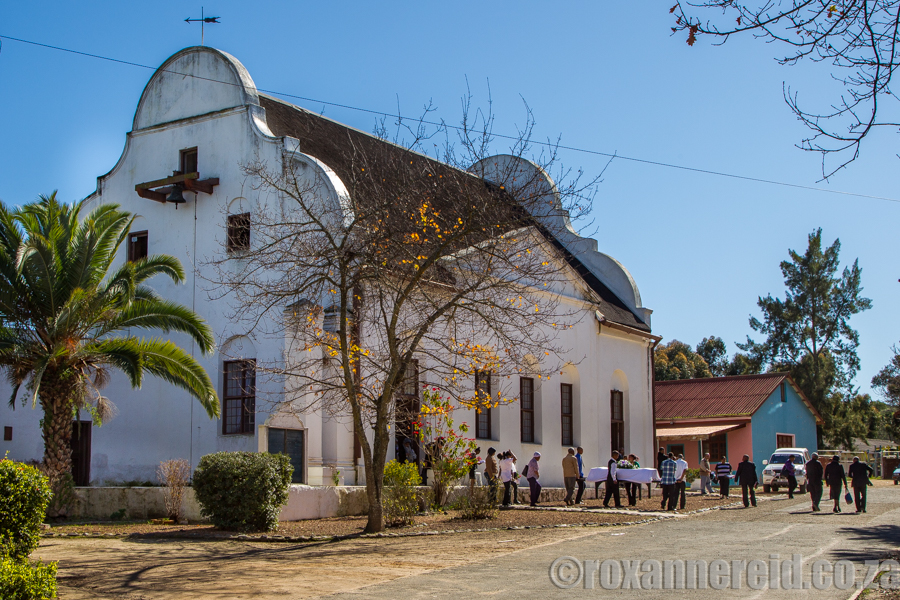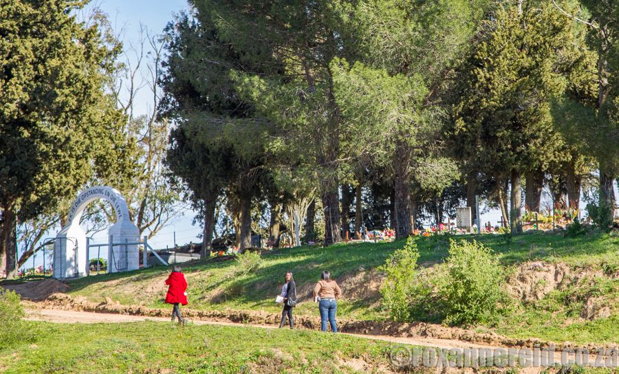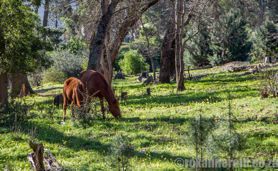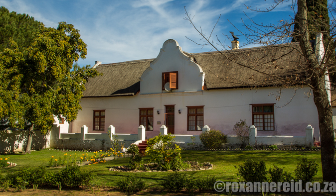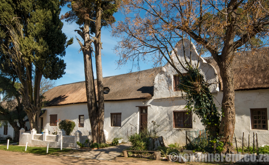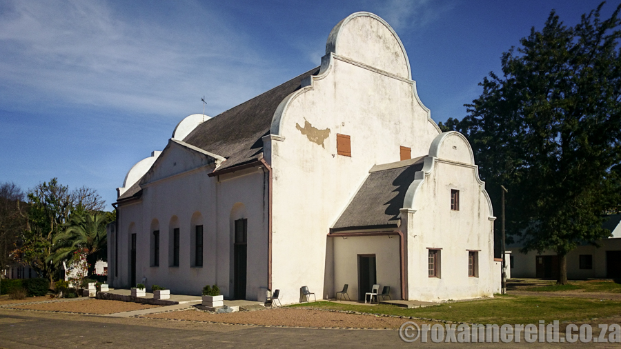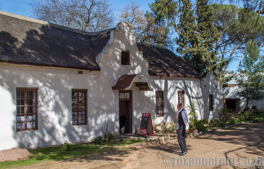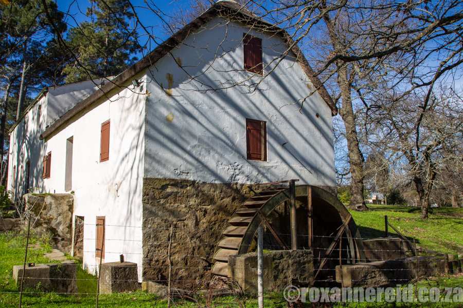
Mamre village lies about 30km north of Cape Town, between Darling and Atlantis in the Western Cape. As lovers of old buildings, we’d visited the historical centre of Mamre before, but this time we had a heritage map with us when we set off to experience the Mamre sights and sounds on the West Coast.
It was a reminder that, historic though the Mamre church is, it’s still a vital part of everyday modern life here.
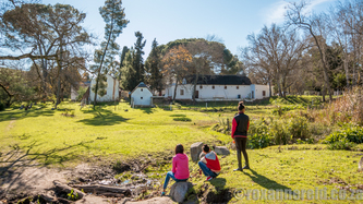
A motorbike roared noisily across the veld as two young men showed off their skills. Young boys, desperately trying to be cool, were shooting the breeze as they smoked on top of a rock between the watermill and the cemetery. Others, still happy to be children, were using the main road near the mill as a go-kart track, their shouts and laughter filling the air. Just another Saturday afternoon in Mamre.
Mamre was established as a Moravian mission station in 1808, the second in the Western Cape after Genadendal near Greyton (1738). Other well known Moravian mission stations in the province include Elim near Bredasdorp (1824) and Wupperthal in the Cederberg (1830).
Want to enjoy your own self-guided heritage walk in Mamre? West Coast Way has produced a handy little map showing the main attractions. Download the map here before you go.
Like it? Pin this image!
Copyright © Roxanne Reid - No words or photographs on this site may be used without permission from roxannereid.co.za
