By Roxanne Reid
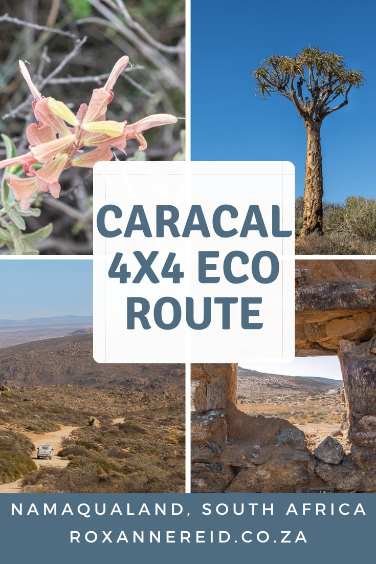
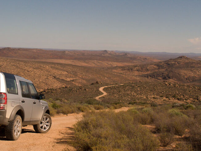
If you’re into wild and rugged roads on mountain passes or along the coast, into weather that can change from mist belts to sunshine in the twinkling of an eye, and having the whole world to yourself for a few hours, then the Caracal 4x4 eco-route in the Namaqua National Park is your kind of thing.
In fact, it’s classed as ‘easy to moderate’ although there are some steep dongas and a few seriously sandy sections along the coast where you’d be stumped without a decent 4x4 in low range.
The trail is 176-200 kilometres long, depending on which tracks you choose, but distance isn’t the issue. Here time is a better benchmark, and you need to know that it will take six to eight hours to complete. If that’s too much, you can opt to do a shorter section only.
It makes sense to avoid this by sleeping over at Hondeklipbaai, or booking a night at the rustic Luiperdskloof Cottage (three bedrooms, one bathroom, no electricity, gas fridge, gas oven, oil lanterns) in the mountains before the coastal section of the eco-route and making a two-day trip of it.
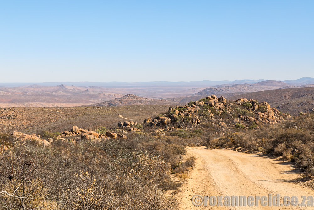
We start our journey with a drive down the steep Soebatsfontein Pass. Magnificent vistas open out over rocky koppies, and we get to see springbok, red hartebeest, steenbok and klipspringer, as well as birds like larks and mountain chats.
From the pass the route turns north, taking you into the Kamiesberg hills for yet more spectacular vistas and plants, not to mention volcanic rock faces and giant boulders. You can go up the Wildeperdehoek Pass, built in the late 1800s to transport copper ore from Springbok to Hondeklipbaai by a method similar to that which Bain used, or you can take the shorter route to Riethuis where there are some rare succulents.
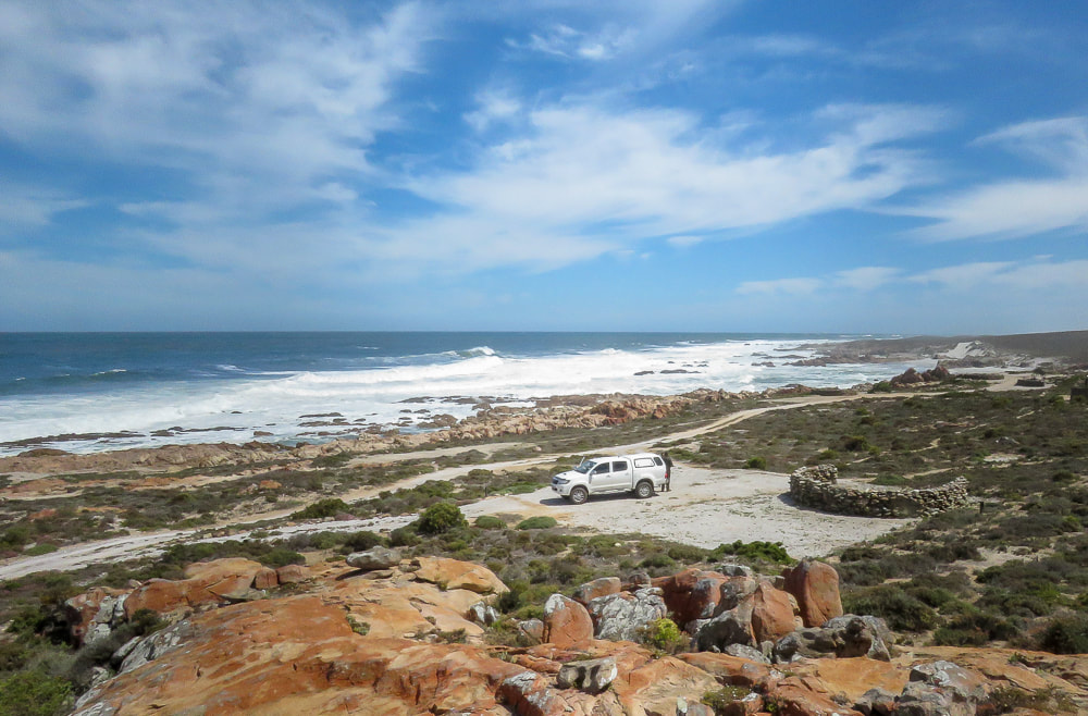
Through some grassy plains and dune areas with dry fynbos, you’ll finally get to the spectacular coastal section of the park south of Hondeklipbaai. This was once a port for copper ore brought by ox-wagon from Springbok and later a crayfish factory until Port Nolloth surpassed it as the port of choice, but both these activities faded into memory long ago.
Further south is the Spoeg River estuary, where you’re in for some good birding (especially waders) and the large Spoegrivier caves. These are a historical and cultural landmark because their almost two-metre deep archaeological deposits have revealed signs of sheep farming up to 2100 years ago.
Relatively untouched by human activity but with an intertidal zone packed cheek by jowl with mussels, limpets and rock lobsters, the 50-kilometre stretch of Groen-Spoeg coastline was incorporated into the Namaqua National Park in 2008. The Bitter River dunefield in this section of the park is a dynamic, moving dune system in pristine condition – the only unspoilt and properly functioning system left on the South African coast.
Eventually the eco-route spits you out at the Groen River mouth, where there’s a lighthouse (unluckily not open for visitors) and one of the saltiest estuaries in South Africa, where you might see pelicans and flamingos.
I defy you not to be impressed.
You may also enjoy
Namaqua National Park guide: everything you need to know
More about Namaqualand
Like it? Pin this image!
